


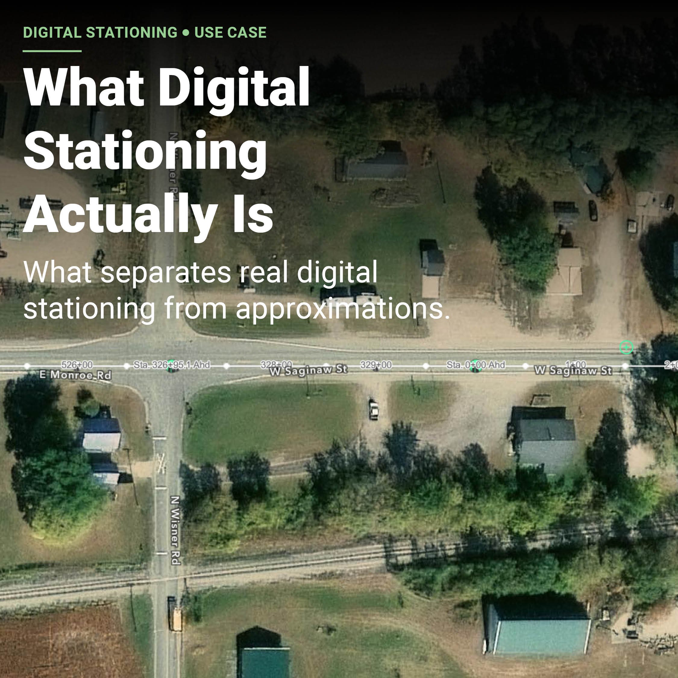
What Digital Stationing Actually Is
Digital stationing is a relatively new category in road construction. This article explains what the category truly includes and highlights the key questions that distinguish genuine digital stationing from approximations marketed under the same name.
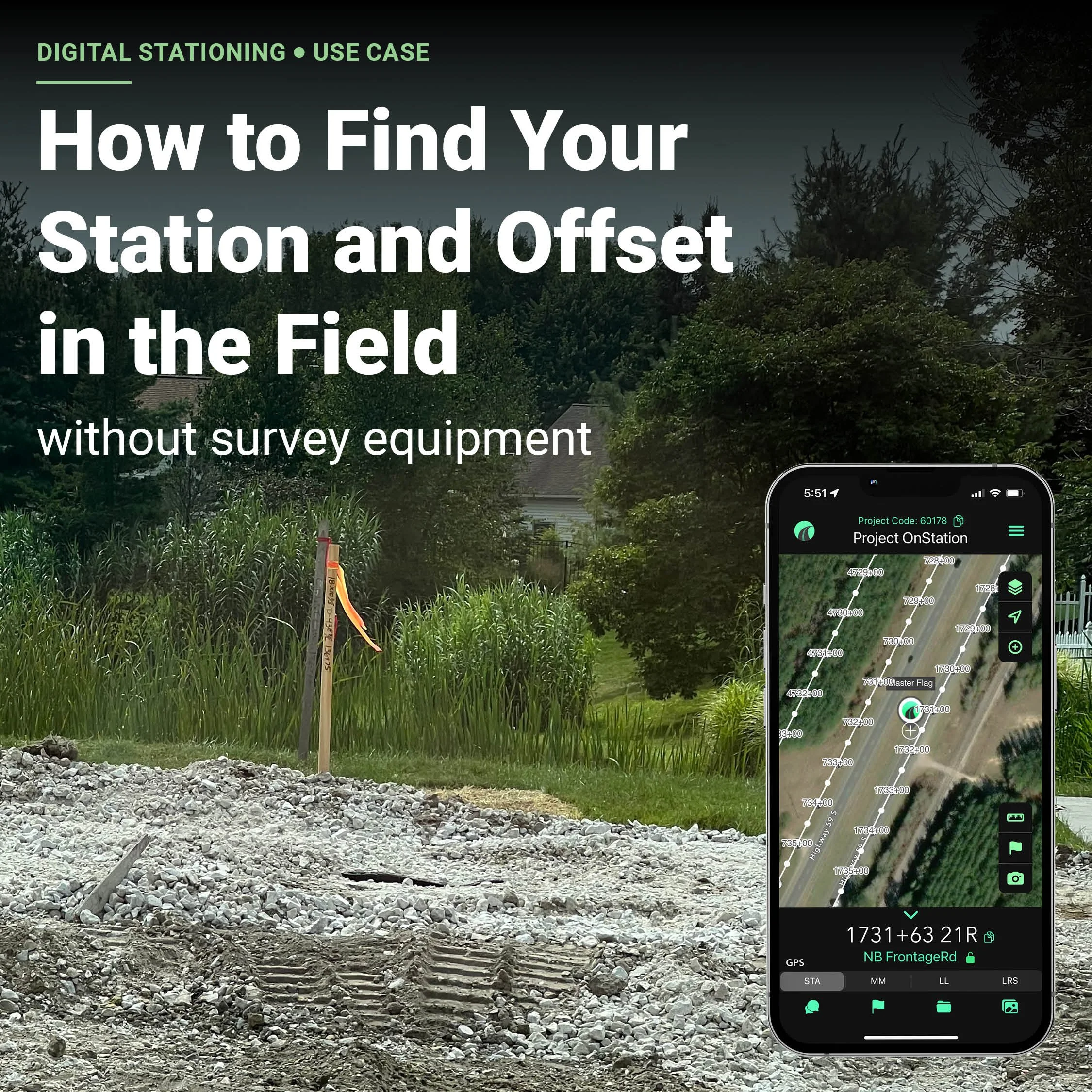
How to Find Your Station and Offset in the Field Without Survey Equipment
Digital stationing is a category of technology that converts your phone's GPS position into a live station and offset reading on your project alignment. You open an app, and it tells you exactly where you are in the language your project speaks: station 1040+47, 12 feet left of centerline.
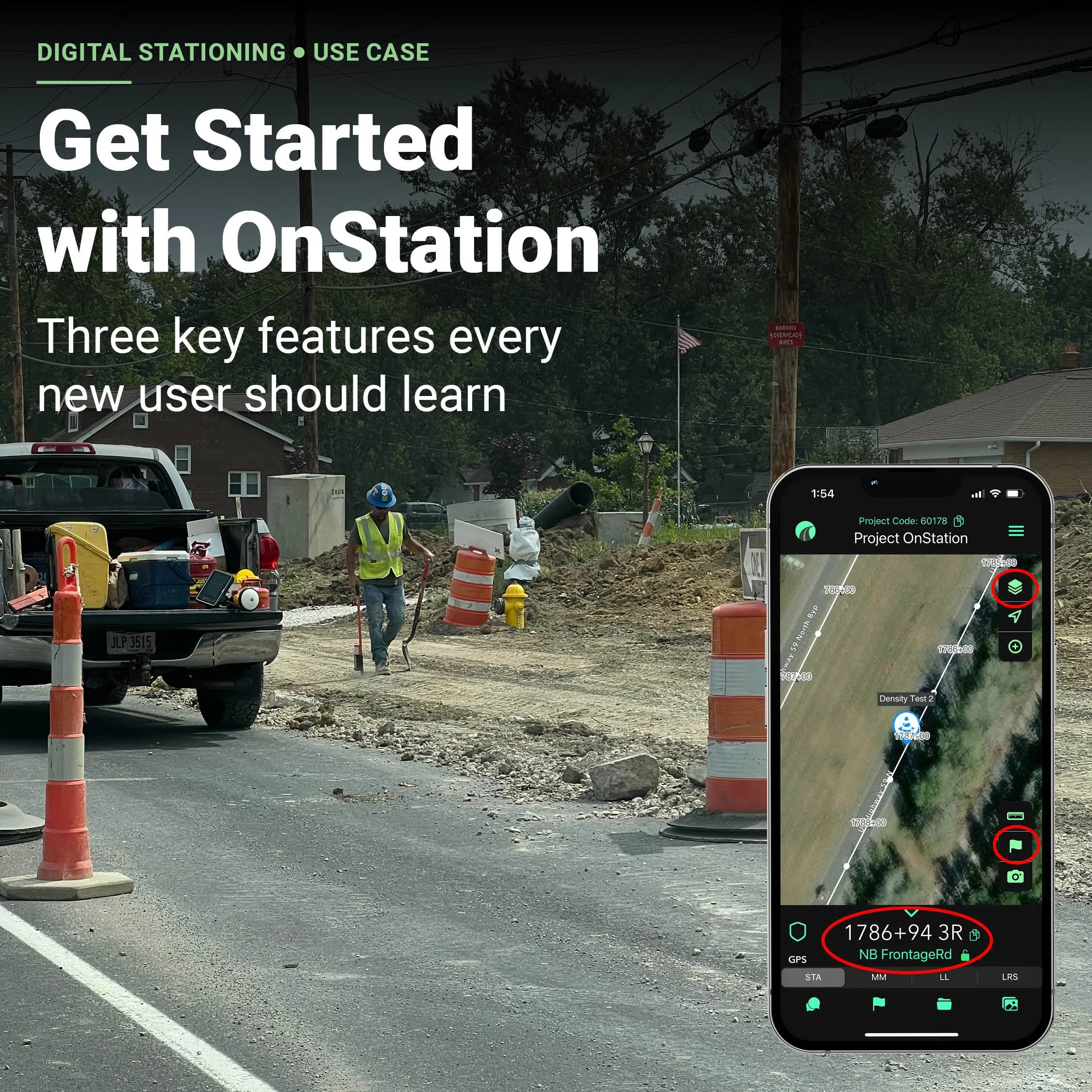
Getting Started with OnStation: 3 Key Features Every New User Should Learn
If you're new to OnStation or helping someone on your team get started, these three features are the best place to begin; station finder, design layers, and flag & chat. They’re the core tools that help users navigate, understand their jobsite, and document work more effectively—no advanced training required.
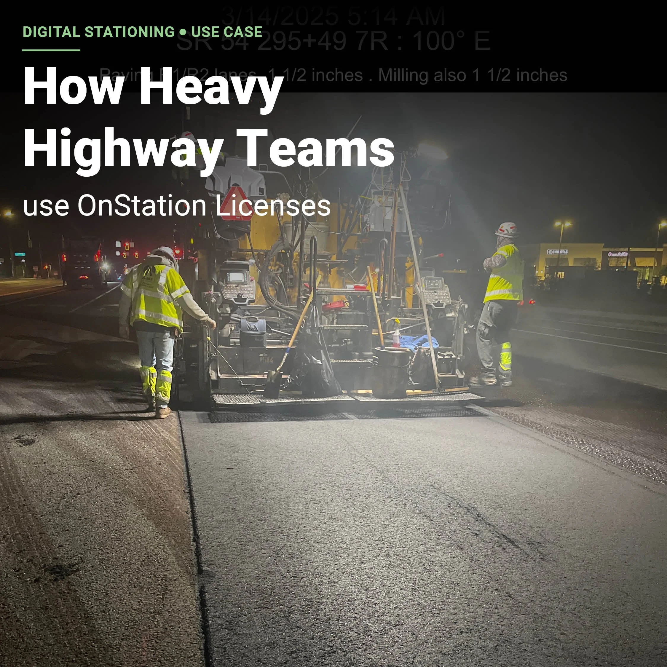
How Heavy Highway Teams Use OnStation Licenses
An overview of OnStation’s licenses and how teams use them in the field.
Got a Question?
We’ve Got Answers.
We're always listening. Whether you're curious about how other teams are using OnStation, have a question about a specific feature, or just want to share something cool from the field—we want to hear from you.
Got a story from the jobsite? A unique use case? An OnStation win you’re proud of? Maybe you’ve got insights from a recent industry conference or a burning question we haven’t tackled yet.
This space is built for real questions and real conversations from crews, PMs, inspectors, and everyone in between. When you share, you help shape the content that fuels this page—and helps the entire industry level up.
Submit your question, idea, or highlight in this form. We’ll take it from there. 👉



Stationing is the project locationing system that allows individuals to budget, design, and construct roadway projects. The following lessons will cover the different types of stationing and why they are important.